


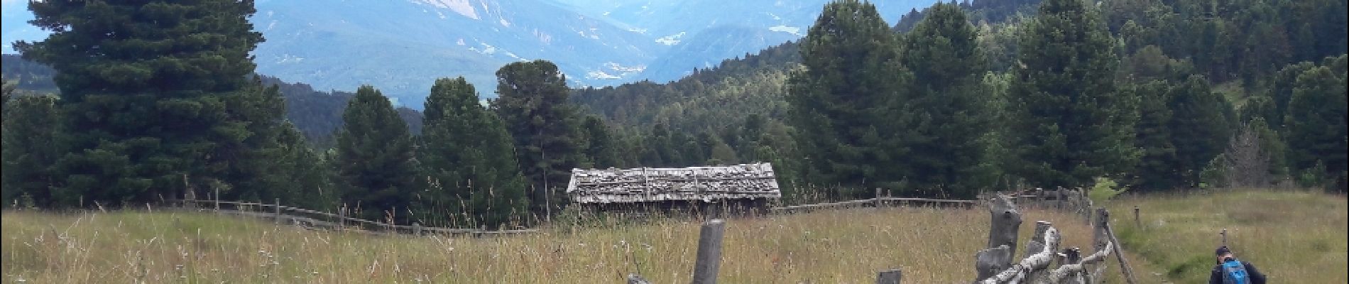
Villanderer Alm

VacheKiri67
User
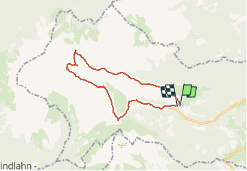


4h44
Difficulty : Medium

FREE GPS app for hiking
 SityTrail
IGN / Geographical institutes
SityTrail Plus
The world is yours!
About
Trail Walking of 13.7 km to be discovered at Trentino-Alto Adige/Südtirol, South Tyrol, Villanders - Villandro. This trail is proposed by VacheKiri67.
Description
Faite le 22/07/2018 avec notre fils Théo de 13 ans. D'après "Wanderung zum Totensee" du site www.sentres.com. Durée indiquée pour le circuit : 4h.
Photos


93 photos in total. Please click on a photo to see them all in the gallery.
Positioning
Comments